Watch a quick overview of what we have to offer and how it can help you get the answers you need.
Tip:
Click the  icon in the bottom right corner of this video for full screen mode.
There are many articles focusing on map tools and we've included some of those throughout this document.
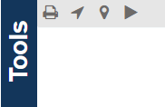
Map Tools Navigation Bar
 Print:
Article: Print Map
 Show my current location on the map.
 Add a marker to the map.
 Animate data changes overtime on the map.
Map Settings
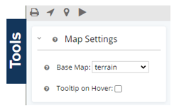
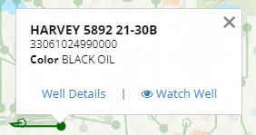
When selecting  , as you move your mouse over the map the well card will continually populate as you move across wells on the map. If the hover tooltip is not selected, you can still click on any well spot to pull up the well card.
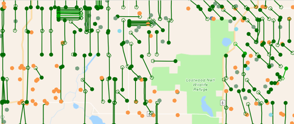
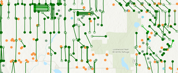
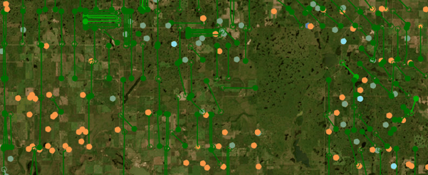
Examples of different base maps available:
No base
Dark
Light
Hybrid
Roadmap
Terrain
Satellite
Layers
Within WellDatabase, you have access to a wide variety of map overlay types, including numerous built-in overlays. These overlays, along with data layers, empower you to effortlessly create intricate and detailed maps within minutes.
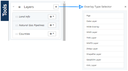
Articles: Data Layers, Interactive Layers, Adding Overlays, Adding Overlay from Another Map Server, Adding ZMap Layer, and Adding Shape Files
Well Layer Settings
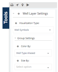
Articles: Group Settings, Visualization Types, Heat Map, Grid Map
Surface Hole, Bottom Hole and Laterals
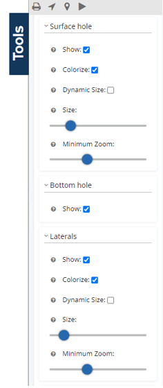
Articles: Surface Hole Options, Bottom Hole Options, Lateral Options
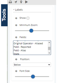
Labels
Choose from dozens of fields to add labels to your map.