Adding Layers
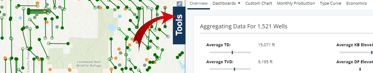
To get started, open the Tools pane from the right side of the map.
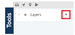
Then click on the plus button beside the Layers heading.
Here you will see each type of overlay supported. The supported overlay types depends on your active subscription. To read more about the different package level, see our package comparison page.
Supported Overlays
WMS Layer
TMS Layer
GeoJSON Layer
KML Layer
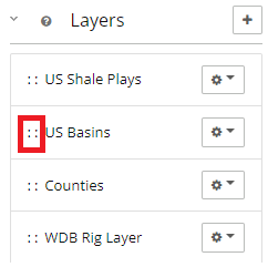
Once you’ve added overlays, you can see them listed in the Map Overlays section. Here you can re-order them as necessary, hide/show each overlay, and edit any settings related to the overlays. You can hide the analytics and list screen to create and view detailed maps like below.
Prioritizing Layer Levels
When adding multiple levels to a map, users can adjust which level is on top. If a layer appears hidden either try adjusting the opacity of one of the layers or click and hold between the :: and drag a layer to the top of the list.
Hiding Layers
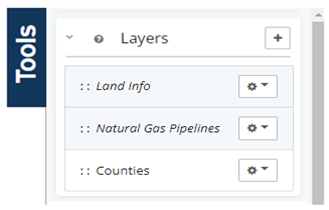
The options that are grayed out and italicized below are layers that are currently hidden, but not removed so they can be easily accessed later. Below, only counties is an active layer.
Interactive Layers
Choose any layer to make interactive, read more here: Interactive Layers