How do I locate rigs?
There are multiple methods available to locate rigs, display them on a map, and export rig data.
Filters
If you want to specifically view the rigs that are currently active on your map, you can easily do so by applying the "has rig" filter. Navigate to the available data section and select the option "Has Rig" to display only the active rigs on your map.
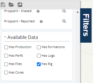
Once you have applied this filter, the rigs will appear as well spots on the map.
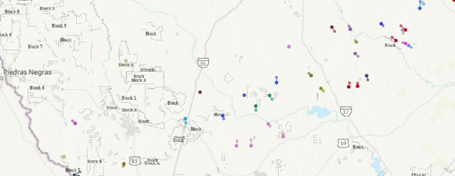
Rig Overlay
With our rig layer, you have the ability to display rigs ![]() on the map and easily interact with them. To find out more about adding this data layer and viewing the current locations of rigs (or their locations over the past 30, 60, or 90 days), click here.
on the map and easily interact with them. To find out more about adding this data layer and viewing the current locations of rigs (or their locations over the past 30, 60, or 90 days), click here.
This feature is especially valuable as it allows you to visualize the rigs in relation to the wells you are interested in.
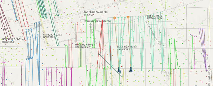
Historic Rigs
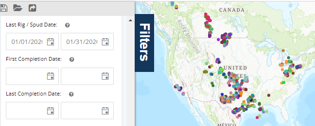
To discover historic rig data, you can delve into data dating back to April 2017. We also provide information on spud dates that go even further back in time. To uncover past rigs and spud dates, simply search through event dates using the "Last Rig/Spud Date" option.
The example below shows only January 2020.
Rig Analytics
In the Rig dashboard, you have the option to organize charts based on various characteristics. As illustrated below, you can group rigs according to their current operator or their location by state. This feature allows for a comprehensive analysis and understanding of the rig data. To access a comprehensive list of fields that can be used for grouping in analytics, simply click here.


Rig Reports
Receive a weekly rig report delivered straight to your inbox when you subscribe. If you prefer to avoid cluttering your inbox with emails, you can access the report on demand through our quick reports feature.
Here are some additional articles on rig reports
Well Details
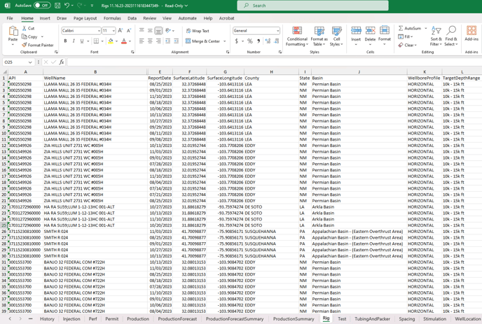
The Rigs tab on the well details card will provide you with essential information such as report dates, well names, basin, county, wellbore profile, target depth range, and the surface latitude / longitude. This data is also available to export through the data export wizard.

Export Rig Data
When utilizing the Data Export Wizard, you have the option to choose "Rig" as a data type. Additionally, along with the rig data, you will also have access to valuable details about the well, including well headers, production data, directional surveys, and more. This information will enhance your understanding of the rig and well data you export.
Here is an article that will walk through the data export wizard, click here to read more.

Our rig data is obtained through Baker Hughes and updated weekly.