A quick Google search for “topographic map layer” lands us on an ESRI ArcGIS layer page.
Here’s the link:
https://www.arcgis.com/home/item.html?id=99cd5fbd98934028802b4f797c4b1732.
We can pull this layer by scrolling down to the Layers section and copying the link listed as USA Topo Maps. That link is: https://services.arcgisonline.com/arcgis/rest/services/USA_Topo_Maps/MapServer.
We will use this URL to overlay this layer on WellDatabase:
Now we open WellDatabase, pull out the Tools panel, and click on the plus by Layers.
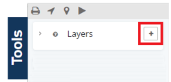
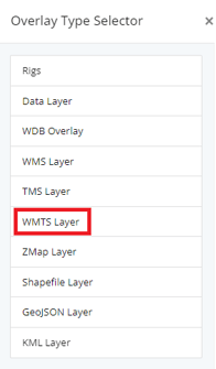
This will open the Overlay Type Selector. This layer is a WMTS Layer, so we’ll select that.
No we copy that URL from above into the dialog.
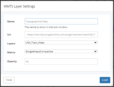
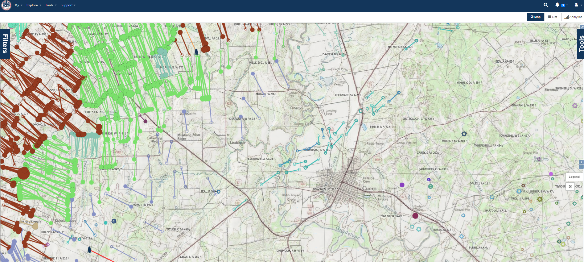
Click Load and our map is now updated with the new layer.
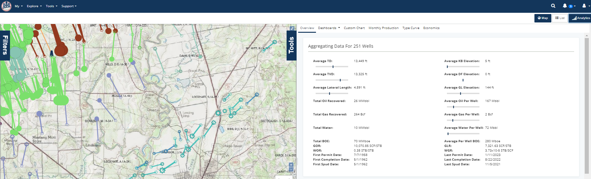
You can hide the Analytics pane to get a larger map as well.
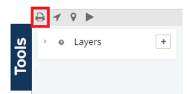
You can also print this map with the overlay included. To do so, open the Tools pane again and click the print button.
For more information about adding overlays from another map server, click here.